Unit 5: Converting GNSS raw data into positions » 5a. The limitations of GPS positions in an X, Y, Z coordinate system
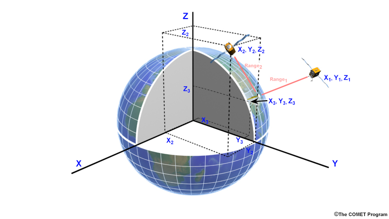
The precise orbits of GPS satellites (accurate to ± 2 cm) are referenced to an international geometric reference frame, called the International Terrestrial Reference Frame, or ITRF. The ITRF has its origin at the center of mass of Earth, with its three axes oriented at 90⁰ from each other. So now we have precise positions from our GPS receiver but they are in a Cartesian coordinate system. Although this system may be easy to work with mathematically, it’s very difficult for us to conceptualize the corresponding locations on Earth’s surface. It would be more useful for most applications if we had them referenced to a geodetic coordinate system such as latitude, longitude, and height on Earth’s surface.
Geodetic vs. geometric systems
The word “geodetic”, derived from “geodesy” is used to indicate that we are relating positions to the precise size and shape of the earth. This is distinct from a purely “geometric” system which is referenced to single point and orthogonal axes.
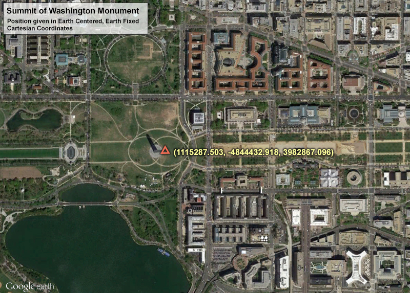
The location of the peak of the Washington Monument in 3D Cartesian coordinates (x, y, z), expressed in meters.
For example, the peak of the Washington Monument expressed in Cartesian (geometric) coordinates is: (1115287.503, -4844432.918, 3982867.096). These are actually distances measured in meters from the center of mass of Earth along the x, y, z axes of the ITRF frame.
Not the most useful piece of information, is it? These numbers are unwieldy and not commonly used. To be more useful, we’d like to transform them into a more familiar geodetic coordinate system expressed in latitude, longitude and height.
So how do we translate our x, y, and z into latitude, longitude, and height? We need a model of the surface of Earth and its relationship to its center of mass.